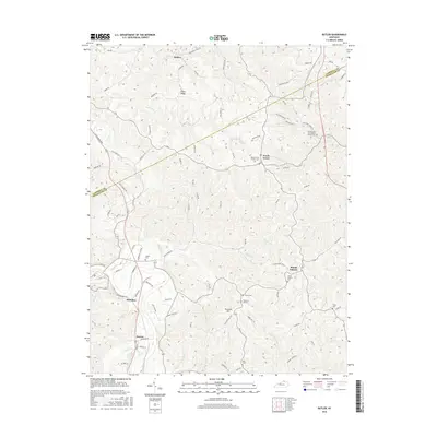
2016 Map of Butler
USGS Topo · Published 2016About this map
The Licking River carves through the southern landscape of this 2016 Pendleton County survey, defining the valley near the settlements of Meridian and Boston. This terrain is characterized by a dense network of ridges and creeks, including Fisher Ridge and the winding course of Twelvemile Creek. The map records a high density of small rural burial grounds and parish centers, such as the Immaculate Conception Church Cem and the Peach Grove Church Cem, which serve as vital touchstones for local genealogy. The settlement pattern follows the high ground and narrow valleys, with Peach Grove and Mount Auburn situated along established ridge roads. These rural communities remain connected by a complex system of local routes like Reis Ridge Rd and Stepstone Church Rd, illustrating a landscape where family history is deeply rooted in the physical topography.
Find a feature on this map
99 named features on this map. Tap any name to fly to it.
Don’t see what you’re looking for? This feature index may not catch every label — zoom into the map to look around manually.
Map Details
Editions of this 2016 Butler Map
This is the sole edition of this map. No revisions or reprints were ever made.
Other maps of this area

1929 · Alexandria
USGS Topo · 1:48,000

1930 · Falmouth
USGS Topo · 1:48,000

1931 · Felicity
USGS Topo · 1:62,500

1936 · Alexandria
USGS Topo · 1:62,500

1936 · Falmouth
USGS Topo · 1:62,500

1952 · Berlin
USGS Topo · 1:24,000

1953 · Laurel
USGS Topo · 1:24,000

1953 · Butler
USGS Topo · 1:24,000

1953 · New Richmond
USGS Topo · 1:24,000
1953 · De Mossville
USGS Topo · 1:24,000