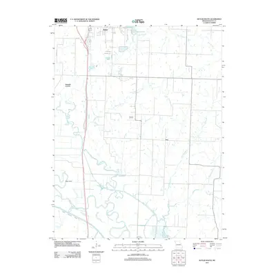
2011 Map of Butler South
USGS Topo · Published 2011About this map
Butler serves as the northern anchor for this study of Bates County, where the transition from urban outskirts to agricultural bottomlands is clearly defined. The southern reaches are dominated by the meandering course of the Marais des Cygnes River and the engineered channel of the Bates County Ditch, highlighting the region's historic efforts to manage the river's floodplains. Between the town and the river lies a network of small settlements and rural landmarks, including Monteith Junction and the small community at Peru.
Find a feature on this map
25 named features on this map. Tap any name to fly to it.
Don’t see what you’re looking for? This feature index may not catch every label — zoom into the map to look around manually.
Map Details
Editions of this 2011 Butler South Map
This is the sole edition of this map. No revisions or reprints were ever made.
Other maps of this area

1887 · Butler
USGS Topo · 1:125,000

1894 · Butler
USGS Topo · 1:125,000

1934 · Papinsville
USGS Topo · 1:24,000

1936 · Rich Hill
USGS Topo · 1:24,000

1937 · New Home
USGS Topo · 1:24,000
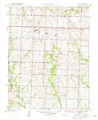
1942 · Sprague
USGS Topo · 1:24,000

1947 · Lawrence
USGS Topo · 1:250,000

1950 · Lawrence
USGS Topo · 1:250,000
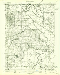
1955 · Rich Hill
USGS Topo · 1:24,000

1956 · Lawrence
USGS Topo · 1:250,000