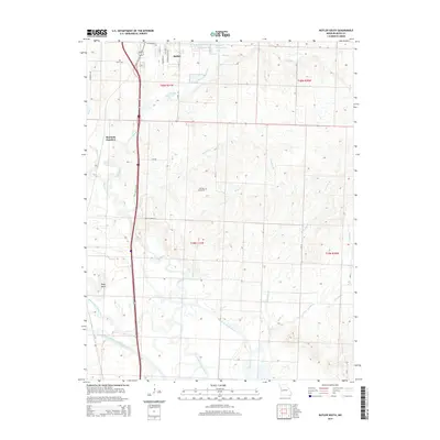
2014 Map of Butler South
USGS Topo · Published 2014About this map
The Marais des Cygnes River meanders through the southern half of this Bates County landscape, defining the low-lying terrain of Negro Bend. To the north, the outskirts of Butler show a network of residential and recreational developments, including Kennedy Lake, Christy Lake, and the Butler Recreational Lake. The land between the river and the city is a complex system of hydraulic engineering, marked by the Miami Drainage Ditch and the Bates County Drainage Ditch, which manage the flow of various tributaries like Miami Cr and Possum Br. Centrally located, Fairview Cemetery stands as a point of interest for family historians, while Monteith Junction sits at a critical intersection of the local transportation corridors and high-volume routes like the US-71 Outer Loop.
Find a feature on this map
33 named features on this map. Tap any name to fly to it.
Don’t see what you’re looking for? This feature index may not catch every label — zoom into the map to look around manually.
Map Details
Editions of this 2014 Butler South Map
This is the sole edition of this map. No revisions or reprints were ever made.
Other maps of this area

1887 · Butler
USGS Topo · 1:125,000

1894 · Butler
USGS Topo · 1:125,000

1934 · Papinsville
USGS Topo · 1:24,000

1936 · Rich Hill
USGS Topo · 1:24,000

1937 · New Home
USGS Topo · 1:24,000
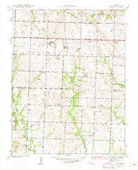
1942 · Sprague
USGS Topo · 1:24,000

1947 · Lawrence
USGS Topo · 1:250,000

1950 · Lawrence
USGS Topo · 1:250,000
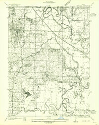
1955 · Rich Hill
USGS Topo · 1:24,000

1956 · Lawrence
USGS Topo · 1:250,000