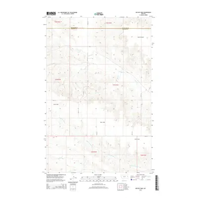
2014 Map of Butler Table
USGS Topo · Published 2014About this map
Butler Table dominates this high-plains landscape where the boundary between Richland Co and Dawson Co runs through the northern reaches of the quadrangle. The terrain is defined by the headwaters and drainage networks of several prairie streams, including N Fork Burns Cr, Middle Fork Burns Cr, and McCone Cr. This 2014 survey documents a sparsely populated rural landscape where section lines are traced by local thoroughfares such as Road 512 and Road 537. The topography is punctuated by McCone Heights in the northeast, showing the transition from level plateaus to the eroded drainage basins of the Burns Cr system. The map provides a clear record of the Public Land Survey System (PLSS) grid and the infrastructure connecting this section of eastern Montana.
Find a feature on this map
19 named features on this map. Tap any name to fly to it.
Don’t see what you’re looking for? This feature index may not catch every label — zoom into the map to look around manually.
Map Details
Editions of this 2014 Butler Table Map
This is the sole edition of this map. No revisions or reprints were ever made.
Other maps of this area

1909 · Glendive
USGS Topo · 1:250,000

1954 · Glendive
USGS Topo · 1:250,000

1957 · Glendive
USGS Topo · 1:250,000

1958 · Glendive
USGS Topo · 1:250,000

1966 · Intake NW
USGS Topo · 1:24,000

1966 · Allard Ranch
USGS Topo · 1:24,000

1972 · Red Top
USGS Topo · 1:24,000

1972 · Butler Table
USGS Topo · 1:24,000

1972 · Fox Lake
USGS Topo · 1:24,000

1972 · Enid SE
USGS Topo · 1:24,000