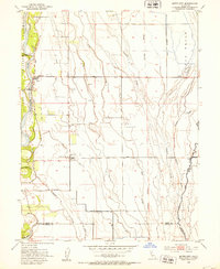
1952 Map of Butte City
USGS Topo · Published 1953About this map
The Sacramento River dominates the western edge of this 1952 topographic study, its course reinforced by an extensive system of levees that protect the agricultural lowlands of Glenn and Colusa counties. This era of Sacramento Valley development is characterized by a landscape of braided waterways and seasonal drainage, including Angel Slough, Campbell Slough, and Howard Slough. The settlement of Butte City serves as a local focal point near the river, while the smaller community of Afton sits further east along the Biggs Princeton Road.
Find a feature on this map
22 named features on this map. Tap any name to fly to it.
Don’t see what you’re looking for? This feature index may not catch every label — zoom into the map to look around manually.
Map Details
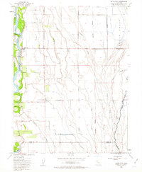
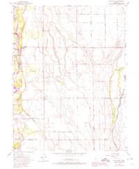
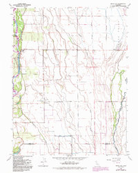
Editions of this 1952 Butte City Map
4 editions found
Other maps of this area

1888 · Marysville
USGS Topo · 1:125,000

1891 · Chico
USGS Topo · 1:125,000

1891 · Marysville
USGS Topo · 1:125,000

1893 · Chico
USGS Topo · 1:125,000

1894 · Marysville
USGS Topo · 1:125,000

1895 · Marysville
USGS Topo · 1:125,000

1895 · Chico
USGS Topo · 1:125,000

1906 · Maxwell
USGS Topo · 1:62,500

1906 · Willows
USGS Topo · 1:62,500

1911 · Sanborn Slough
USGS Topo · 1:31,680