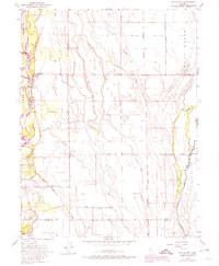
1952 Map of Butte City
USGS Topo · Published 1974About this map
The Sacramento River meanders through the heart of this valley landscape, its course heavily managed by a network of levees and gaging stations. This 1952 survey, photorevised in the early 1970s, captures the complex hydrology of the region where the river interfaces with ancient land grants like Rancho Llano Seco and Aguas Frias. The settlement of Butte City serves as a primary riverfront hub, while the smaller community of Afton sits further inland, characterized by the Union Sch and the Marvin Chapel Cemetery.
Find a feature on this map
20 named features on this map. Tap any name to fly to it.
Don’t see what you’re looking for? This feature index may not catch every label — zoom into the map to look around manually.
Map Details
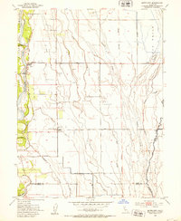
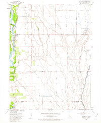
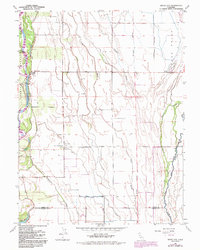
Editions of this 1952 Butte City Map
4 editions found
Other maps of this area

1888 · Marysville
USGS Topo · 1:125,000

1891 · Chico
USGS Topo · 1:125,000

1891 · Marysville
USGS Topo · 1:125,000

1893 · Chico
USGS Topo · 1:125,000

1894 · Marysville
USGS Topo · 1:125,000

1895 · Marysville
USGS Topo · 1:125,000

1895 · Chico
USGS Topo · 1:125,000

1906 · Maxwell
USGS Topo · 1:62,500

1906 · Willows
USGS Topo · 1:62,500

1911 · Sanborn Slough
USGS Topo · 1:31,680