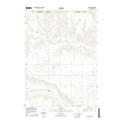
2014 Map of Butte NW
USGS Topo · Published 2014About this map
The Niobrara River carves a deep valley across the southern portion of this landscape, marking the significant geological boundary between Boyd and Holt counties. To the north, the terrain is defined by the winding course of Ponca Cr and the confluence of the Keya Paha River near the border with South Dakota. This 2014 survey reveals an agricultural and ranching landscape organized by a rigorous grid of section roads, such as 481st Ave and 908th Rd. Man-made water management is evident in features like Mohr Reservoir and Reiman Reservoir, which support the local watershed. The presence of Dizzy Cr and Glacier Rd further highlights the local naming conventions of this rural Nebraska-South Dakota borderland, where state lines intersect with Gregory and Boyd counties.
Find a feature on this map
25 named features on this map. Tap any name to fly to it.
Don’t see what you’re looking for? This feature index may not catch every label — zoom into the map to look around manually.
Map Details
Editions of this 2014 Butte NW Map
This is the sole edition of this map. No revisions or reprints were ever made.
Other maps of this area

1951 · Butte NW
USGS Topo · 1:24,000

1951 · Naper
USGS Topo · 1:24,000

1951 · Butte SW
USGS Topo · 1:24,000

1951 · Dustin
USGS Topo · 1:24,000

1952 · Butte SE
USGS Topo · 1:24,000

1955 · Mitchell
USGS Topo · 1:250,000

1955 · O'Neill
USGS Topo · 1:250,000

1959 · O'Neill
USGS Topo · 1:250,000

1959 · Mitchell
USGS Topo · 1:250,000

1964 · Butte
USGS Topo · 1:24,000