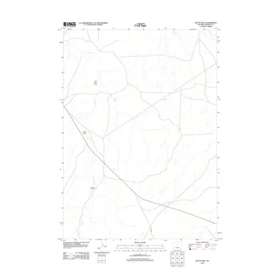
2012 Map of Butte Well
USGS Topo · Published 2012About this map
McKenzie Windmill stands as a lonely landmark in this high desert landscape of central Wyoming. This portion of Fremont County is defined by its drainage patterns, most notably the seasonal flow of Horseshoe Cr and Muskrat Cr. The terrain is etched with deep drainage features including Lame Jack Draw and Signor Draw, which dictate the local topography. At the northern edge of the sheet, Leitch Reservoir provides a critical water source for the region's livestock and wildlife. The sparse infrastructure is anchored by Ohio Rd, reflecting the remote character of this ranching country in the early twenty-first century.
Find a feature on this map
7 named features on this map. Tap any name to fly to it.
Don’t see what you’re looking for? This feature index may not catch every label — zoom into the map to look around manually.
Map Details
Editions of this 2012 Butte Well Map
This is the sole edition of this map. No revisions or reprints were ever made.
Other maps of this area

1952 · Seventy-one Reservoir
USGS Topo · 1:24,000

1952 · Squaw Butte
USGS Topo · 1:24,000

1952 · Rongis Reservoir SE
USGS Topo · 1:24,000

1952 · Double Butte
USGS Topo · 1:24,000

1952 · Haybarn Hill
USGS Topo · 1:24,000

1952 · Love Ranch
USGS Topo · 1:24,000

1952 · Rongis Reservoir
USGS Topo · 1:24,000

1952 · Puddle Springs
USGS Topo · 1:24,000

1952 · Butte Well
USGS Topo · 1:24,000

1955 · Arminto
USGS Topo · 1:250,000