
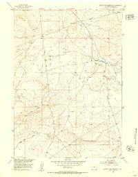
1952 Map of Seventy-one Reservoir
USGS Topo · Published 1952About this map
Seventy-one Reservoir and the surrounding high plains of Fremont County are captured here during a mid-century period of land management and ranching. The landscape is defined by its drainage systems, notably Deer Creek and Canyon Creek, which carve through the arid terrain. Working ranch life is evident through landmarks such as Linn Ranch and Merriam Meadows, connected by primitive routes like the Ranch Road and Love Ranch Road. The topography transitions from the northern flats toward the elevated Moneta Divide in the south, while the Chalk Hills provide a distinct geological marker in the southwest corner. The presence of multiple Windmill sites across the sheet underscores the importance of water infrastructure for supporting livestock in this open Wyoming range.
Find a feature on this map
11 named features on this map. Tap any name to fly to it.
Don’t see what you’re looking for? This feature index may not catch every label — zoom into the map to look around manually.
Map Details
Editions of this 1952 Seventy-one Reservoir Map
2 editions found
Other maps of this area

1952 · Squaw Butte NE
USGS Topo · 1:24,000

1952 · Squaw Butte
USGS Topo · 1:24,000

1952 · Moneta
USGS Topo · 1:24,000

1952 · Love Ranch
USGS Topo · 1:24,000

1952 · Madden
USGS Topo · 1:24,000

1952 · Butte Well
USGS Topo · 1:24,000

1952 · Moneta SE
USGS Topo · 1:24,000

1952 · Miles Ranch
USGS Topo · 1:24,000

1955 · Arminto
USGS Topo · 1:250,000

1955 · Casper
USGS Topo · 1:250,000