
1952 Map of Squaw Butte NE
USGS Topo · Published 1952About this map
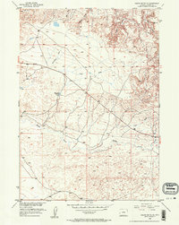
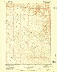
Poison Creek winds through the heart of this Fremont County landscape, defining the local drainage patterns across a high-desert environment in the early 1950s. The map illustrates a complex network of seasonal watercourses and topographic features, including the distinct Wickersham Draw and Coal Draw, which feed into the primary creek system. These natural corridors were critical for managing water in an arid region, evidenced by the presence of the Dinty Moore Reservoir. Compiled as part of the Department of the Interior program for the development of the Missouri River Basin, the survey captures the area just as aerial photogrammetry was becoming a standard tool for Western land management. The terrain is marked by numerous smaller drainages like Linn Draw and Fuller Gulch, showing the intricate erosion patterns of the Wyoming basin.
Find a feature on this map
7 named features on this map. Tap any name to fly to it.
Don’t see what you’re looking for? This feature index may not catch every label — zoom into the map to look around manually.
Map Details
Editions of this 1952 Squaw Butte NE Map
3 editions found
Other maps of this area

1952 · Seventy-one Reservoir
USGS Topo · 1:24,000

1952 · Squaw Butte
USGS Topo · 1:24,000

1952 · Ocla Draw
USGS Topo · 1:24,000

1952 · Gates Butte
USGS Topo · 1:24,000

1952 · Moneta
USGS Topo · 1:24,000

1952 · Picard Ranch
USGS Topo · 1:24,000

1952 · Lysite
USGS Topo · 1:24,000

1952 · Haybarn Hill
USGS Topo · 1:24,000

1955 · Arminto
USGS Topo · 1:250,000

1958 · Arminto
USGS Topo · 1:250,000