
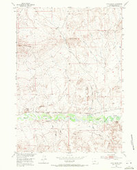
1952 Map of Gates Butte
USGS Topo · Published 1953About this map
Badwater Creek winds through the southern reaches of this Fremont County landscape, creating a central corridor of drainage for a network of ephemeral draws and gulches. The topographical data, compiled for the development of the Missouri River Basin, highlights a transition in local transportation as the Chicago and North Western line is noted as abandoned, while the Burlington and Quincy railroad remains active along the creek's northern bank.
Find a feature on this map
31 named features on this map. Tap any name to fly to it.
Don’t see what you’re looking for? This feature index may not catch every label — zoom into the map to look around manually.
Map Details
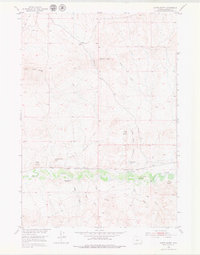
Editions of this 1952 Gates Butte Map
3 editions found
Other maps of this area

1952 · Squaw Butte NE
USGS Topo · 1:24,000

1952 · Ocla Draw
USGS Topo · 1:24,000

1952 · Moneta
USGS Topo · 1:24,000

1952 · Picard Ranch
USGS Topo · 1:24,000

1952 · Lysite
USGS Topo · 1:24,000

1952 · Arapahoe Butte
USGS Topo · 1:24,000

1952 · De Pass
USGS Topo · 1:24,000

1952 · Guffy Peak
USGS Topo · 1:24,000

1955 · Arminto
USGS Topo · 1:250,000

1958 · Arminto
USGS Topo · 1:250,000