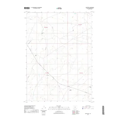
2017 Map of Butte Well
USGS Topo · Published 2017About this map
Butte Well sits at the center of this arid landscape in Fremont County, where drainage patterns and unpaved transit networks reveal the area's pastoral and industrial character. The map is defined by a series of significant topographic depressions, including Lame Jack Draw, Signor Draw, and Mahoney Draw, which channel intermittent water toward Horseshoe Creek. The presence of the Leitch Reservoir in the northeast corner underscores the importance of water management in this high-plains environment.
Find a feature on this map
15 named features on this map. Tap any name to fly to it.
Don’t see what you’re looking for? This feature index may not catch every label — zoom into the map to look around manually.
Map Details
Editions of this 2017 Butte Well Map
This is the sole edition of this map. No revisions or reprints were ever made.
Other maps of this area

1952 · Seventy-one Reservoir
USGS Topo · 1:24,000

1952 · Squaw Butte
USGS Topo · 1:24,000

1952 · Rongis Reservoir SE
USGS Topo · 1:24,000

1952 · Double Butte
USGS Topo · 1:24,000

1952 · Haybarn Hill
USGS Topo · 1:24,000

1952 · Love Ranch
USGS Topo · 1:24,000

1952 · Rongis Reservoir
USGS Topo · 1:24,000

1952 · Puddle Springs
USGS Topo · 1:24,000

1952 · Butte Well
USGS Topo · 1:24,000

1955 · Arminto
USGS Topo · 1:250,000