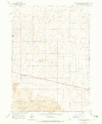
1964 Map of Butterfly Butte
USGS Topo · Published 1965About this map
Kettle Butte and Butterfly Butte define the topography of this high-desert landscape in Bonneville County, where geological history is written in the broad expanses of Lava flows. Surveyed in the early 1960s, the map reveals a sparsely populated terrain characterized by volcanic features and water management via the Kettle Butte Drain. A primary thoroughfare cuts across the southern portion of the sheet, providing an essential link between Arco and Idaho Falls. This route passes Seventeenmile Cave, a significant landmark for those navigating the arid plains. The presence of several scattered wells indicates the critical importance of subterranean water sources for sustaining life and industry in this volcanic region, while numerous benchmarks like BM 5082 mark the precise work of the mid-century surveyors.
Find a feature on this map
14 named features on this map. Tap any name to fly to it.
Don’t see what you’re looking for? This feature index may not catch every label — zoom into the map to look around manually.
Map Details
Editions of this 1964 Butterfly Butte Map
2 editions found

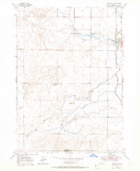
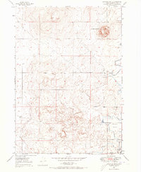
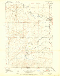
Other maps of this area

1948 · Woodville
USGS Topo · 1:24,000

1949 · Roberts
USGS Topo · 1:62,500
1949 · Roberts
USGS Topo · 1:24,000
1949 · Shattuck Butte
USGS Topo · 1:24,000

1950 · Shattuck Butte
USGS Topo · 1:24,000

1950 · Woodville
USGS Topo · 1:24,000
1950 · Roberts
USGS Topo · 1:24,000

1955 · Idaho Falls
USGS Topo · 1:250,000

1958 · Idaho Falls
USGS Topo · 1:250,000

1959 · Woodville
USGS Topo · 1:24,000