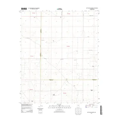
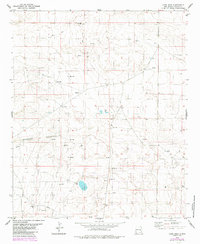
2013 Map of Button Mesa North
USGS Topo · Published 2013About this map
The arid ranching and energy landscape along the Chaves Co Roosevelt Co line is defined by its reliance on groundwater. Named wells such as Boatwright Well, Bailiff Well, Jones Well, and Blackstock Well punctuate the vast grazing lands, tracing the paths of families and livestock operations in this high-plains environment. The terrain is relatively flat, rising subtly toward Button Mesa in the southern portion of the quadrangle.
Find a feature on this map
29 named features on this map. Tap any name to fly to it.
Don’t see what you’re looking for? This feature index may not catch every label — zoom into the map to look around manually.
Map Details
Editions of this 2013 Button Mesa North Map
This is the sole edition of this map. No revisions or reprints were ever made.
Other maps of this area

1954 · Brownfield
USGS Topo · 1:250,000

1958 · Brownfield
USGS Topo · 1:250,000

1962 · Brownfield
USGS Topo · 1:250,000

1978 · Flying M Ranch
USGS Topo · 1:24,000

1978 · Button Mesa North
USGS Topo · 1:24,000

1979 · Kenna
USGS Topo · 1:24,000
1979 · Schram Lake
USGS Topo · 1:24,000
1979 · Curlew Lake SE
USGS Topo · 1:24,000
1979 · Elida SE
USGS Topo · 1:24,000
1979 · Lone Wolf
USGS Topo · 1:24,000