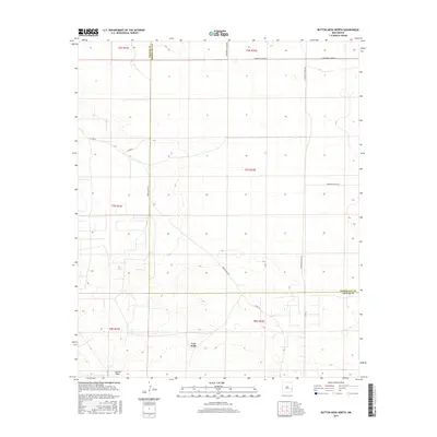
2017 Map of Button Mesa North
USGS Topo · Published 2017About this map
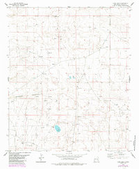
Vest Wells and the seasonal catchment of Vest Lake anchor this high plains landscape along the county line. The terrain is characterized by the prominent elevation of Button Mesa in the southwest, giving way to a network of local ranch roads that define the section lines of the Public Land Survey System. These routes, including Moon Ranch Rd and various Roosevelt County roads like S Roosevelt Road Am, trace the movement of livestock and water management in a region where geography is defined by subtle relief and isolated water sources. This 2017 survey reflects the enduring cattle ranching infrastructure that has shaped the borderlands between Chaves and Roosevelt counties for generations.
Find a feature on this map
19 named features on this map. Tap any name to fly to it.
Don’t see what you’re looking for? This feature index may not catch every label — zoom into the map to look around manually.
Map Details
Editions of this 2017 Button Mesa North Map
This is the sole edition of this map. No revisions or reprints were ever made.
Other maps of this area

1954 · Brownfield
USGS Topo · 1:250,000

1958 · Brownfield
USGS Topo · 1:250,000

1962 · Brownfield
USGS Topo · 1:250,000

1978 · Flying M Ranch
USGS Topo · 1:24,000

1978 · Button Mesa North
USGS Topo · 1:24,000

1979 · Kenna
USGS Topo · 1:24,000
1979 · Schram Lake
USGS Topo · 1:24,000
1979 · Curlew Lake SE
USGS Topo · 1:24,000
1979 · Elida SE
USGS Topo · 1:24,000
1979 · Lone Wolf
USGS Topo · 1:24,000