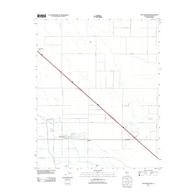
2012 Map of Buttonwillow
USGS Topo · Published 2012About this map
Buttonwillow serves as the primary hub of this agricultural landscape in Kern County, situated at the base of Buttonwillow Ridge. The area is defined by a sophisticated network of water management features essential for local industry, including the East Side Canal, Eightyfoot Ditch, and Sudan Ditch. Large-scale ranching and dairy operations are prominent, with Mirasol Ranch, Deep Wells Ranch, and Goyenetche Dairy anchoring the rural economy. Transportation corridors such as Wasco Way and Snow Rd bisect the grid of fields, linking the community to smaller named locales like Kilowatt and Bowerbank. The presence of features like Jerry Slough and the Elk Grove Drain further illustrates the complex hydrological engineering used to sustain this Central Valley region.
Find a feature on this map
61 named features on this map. Tap any name to fly to it.
Don’t see what you’re looking for? This feature index may not catch every label — zoom into the map to look around manually.
Map Details
Editions of this 2012 Buttonwillow Map
This is the sole edition of this map. No revisions or reprints were ever made.
Other maps of this area

1910 · Buena Vista Lake
USGS Topo · 1:125,000

1912 · McKittrick
USGS Topo · 1:125,000

1912 · Buena Vista Lake
USGS Topo · 1:125,000

1914 · Lost Hills
USGS Topo · 1:125,000

1927 · Semitropic
USGS Topo · 1:31,680

1929 · Coles Levee
USGS Topo · 1:31,680

1930 · Leonards
USGS Topo · 1:31,680

1930 · Wasco
USGS Topo · 1:31,680

1931 · Rio Bravo
USGS Topo · 1:31,680

1931 · Lokern
USGS Topo · 1:31,680