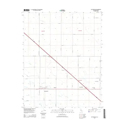
2015 Map of Buttonwillow
USGS Topo · Published 2015About this map
Buttonwillow serves as the focal point of this agricultural landscape within the San Joaquin Valley, where an intricate network of irrigation infrastructure defines the local economy. The map illustrates the sophisticated water management systems essential to the Central Valley, including the E Side Canal and numerous specialized channels like Garden Ditch, Sudan Ditch, and Corn Camp Ditch. Small settlements such as Kilowatt and Bowerbank are positioned along the primary transport corridors, reflecting the region's development around utility and rail access.
Find a feature on this map
50 named features on this map. Tap any name to fly to it.
Don’t see what you’re looking for? This feature index may not catch every label — zoom into the map to look around manually.
Map Details
Editions of this 2015 Buttonwillow Map
This is the sole edition of this map. No revisions or reprints were ever made.
Other maps of this area

1910 · Buena Vista Lake
USGS Topo · 1:125,000

1912 · McKittrick
USGS Topo · 1:125,000

1912 · Buena Vista Lake
USGS Topo · 1:125,000

1914 · Lost Hills
USGS Topo · 1:125,000

1927 · Semitropic
USGS Topo · 1:31,680

1929 · Coles Levee
USGS Topo · 1:31,680

1930 · Leonards
USGS Topo · 1:31,680

1930 · Wasco
USGS Topo · 1:31,680

1931 · Rio Bravo
USGS Topo · 1:31,680

1931 · Lokern
USGS Topo · 1:31,680