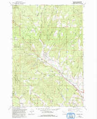
1979 Map of Buxton
USGS Topo · Published 1992About this map
Buxton and its surrounding timberlands are defined by the winding course of the West Fork Dairy Creek and the transportation corridors that followed its path. This late 20th-century update highlights the transition of the regional infrastructure, specifically noting the Old Railroad Grade and the Sell Old Railroad Grade, which trace the legacy of the logging industry. To the west, the Tillamook State Forest dominates the higher elevations near Eagle Peak and Wildcat Mountain, while the valley floors are dotted with agricultural markers like Schmadeke Reservoir and Hofer Pond. Small rural clusters such as Manning, Staleys Junction, and Davies Junction anchor the road network, while the Buxton Cem and various family-named routes like Nowakowski Road and Levi White Rd provide specific geographical points for genealogical research and local history studies.
Find a feature on this map
57 named features on this map. Tap any name to fly to it.
Don’t see what you’re looking for? This feature index may not catch every label — zoom into the map to look around manually.
Map Details
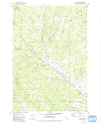
Editions of this 1979 Buxton Map
2 editions found
Other maps of this area

1940 · Vernonia
USGS Topo · 1:62,500

1941 · Keasey
USGS Topo · 1:62,500

1941 · Timber
USGS Topo · 1:62,500

1941 · Gales Creek
USGS Topo · 1:62,500

1943 · Vernonia
USGS Topo · 1:62,500

1943 · Keasey
USGS Topo · 1:62,500

1948 · Vancouver
USGS Topo · 1:250,000

1950 · Vancouver
USGS Topo · 1:250,000

1950 · Vancouver
USGS Topo · 1:250,000

1955 · Timber
USGS Topo · 1:62,500