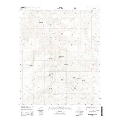
2014 Map of Buzzard Roost Mesa
USGS Topo · Published 2014About this map
Tonto National Forest land defines this central Arizona landscape, where the high desert terrain transitions between mesas and deep drainages. The area is characterized by an extensive network of water management features, including Fred Tank, Pasture Tank, and Buzzard Roost Mesa Tank Number One, which support the remote livestock operations of Gila County. In the northeastern corner, the edge of the Young settlement is visible near Walnut Creek Rd, providing a rare point of human habitation in a quadrangle otherwise dominated by named canyons like Mine Canyon and Breadpan Canyon. Landmarks such as Potato Butte and Cline Mesa serve as prominent navigational aids. Numerous water sources, including Thomas Spring and Clover Spring, highlight the vital importance of natural springs in this arid environment, while features like Peters Corral Canyon reflect the local ranching heritage.
Find a feature on this map
55 named features on this map. Tap any name to fly to it.
Don’t see what you’re looking for? This feature index may not catch every label — zoom into the map to look around manually.
Map Details
Editions of this 2014 Buzzard Roost Mesa Map
This is the sole edition of this map. No revisions or reprints were ever made.
Other maps of this area

1886 · Holbrook
USGS Topo · 1:250,000

1887 · Verde
USGS Topo · 1:250,000

1892 · Verde
USGS Topo · 1:250,000

1893 · Holbrook
USGS Topo · 1:250,000

1907 · Roosevelt
USGS Topo · 1:125,000

1909 · Four Peaks
USGS Topo · 1:125,000

1912 · Roosevelt
USGS Topo · 1:125,000

1922 · Chrysotile
USGS Topo · 1:125,000

1937 · Diamond Butte
USGS Topo · 1:48,000

1943 · Diamond Butte
USGS Topo · 1:62,500