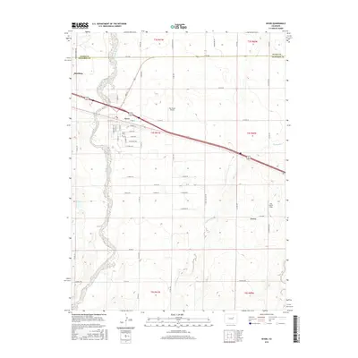
2016 Map of Byers
USGS Topo · Published 2016About this map
West Bijou Creek carves a winding path through this portion of Arapahoe County, defining the western edge of Byers. This 2016 survey documents a landscape where traditional agricultural irrigation, evidenced by the Hopewell Ditch, intersects with the infrastructure of modern transit. The town of Byers serves as a central hub, with its grid of streets including E Bate Ave and E Thomas Ave situated just south of the major rail and highway corridor. To the west, the edge of Strasburg appears near the Adams Co line. Local history is anchored by the Byers Cem. and the small settlement of Peoria to the southeast. The area's reliance on aviation is clear from the presence of Sky Haven Airport and East Moore Field, while several branches of Rattlesnake Cr drain the eastern plains.
Find a feature on this map
60 named features on this map. Tap any name to fly to it.
Don’t see what you’re looking for? This feature index may not catch every label — zoom into the map to look around manually.
Map Details
Editions of this 2016 Byers Map
This is the sole edition of this map. No revisions or reprints were ever made.
Other maps of this area

1950 · Roper School
USGS Topo · 1:24,000

1951 · Roper School
USGS Topo · 1:24,000

1951 · Leader SE
USGS Topo · 1:24,000

1952 · Leader SW
USGS Topo · 1:24,000

1953 · Denver
USGS Topo · 1:250,000

1955 · Strasburg
USGS Topo · 1:24,000

1956 · Peoria
USGS Topo · 1:24,000

1956 · Byers
USGS Topo · 1:24,000

1957 · Denver
USGS Topo · 1:250,000

1958 · Denver
USGS Topo · 1:250,000