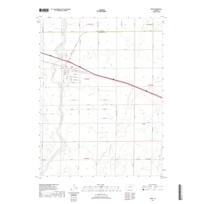
2019 Map of Byers
USGS Topo · Published 2019About this map
Byers serves as the primary hub of activity in this section of the Eastern Plains, situated along the shared boundary of Adams Co and Arapahoe Co. The community's grid is clearly defined by streets such as E Keen Ave and E Thomas Ave, with the Byers Cem located on the western edge of the town center. The landscape is dominated by the broad drainage of West Bijou Creek and the meandering path of Rattlesnake Cr to the east. Agricultural infrastructure is evident through features like the Hopewell Ditch and Sheep Spring, highlighting the reliance on water management in this arid environment. Further southeast, the small settlement of Peoria sits along the road network, illustrating the sparse but deliberate distribution of rural communities connected by long stretches of county roads like S Co Rd 193 and Co Rd 185.
Find a feature on this map
53 named features on this map. Tap any name to fly to it.
Don’t see what you’re looking for? This feature index may not catch every label — zoom into the map to look around manually.
Map Details
Editions of this 2019 Byers Map
This is the sole edition of this map. No revisions or reprints were ever made.
Other maps of this area

1950 · Roper School
USGS Topo · 1:24,000

1951 · Roper School
USGS Topo · 1:24,000

1951 · Leader SE
USGS Topo · 1:24,000

1952 · Leader SW
USGS Topo · 1:24,000

1953 · Denver
USGS Topo · 1:250,000

1955 · Strasburg
USGS Topo · 1:24,000

1956 · Peoria
USGS Topo · 1:24,000

1956 · Byers
USGS Topo · 1:24,000

1957 · Denver
USGS Topo · 1:250,000

1958 · Denver
USGS Topo · 1:250,000