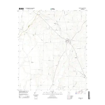
2014 Map of Byromville
USGS Topo · Published 2014About this map
Byromville and the surrounding agricultural landscapes of Dooly County are the focus of this modern survey. The map traces the corridor of Ga-90, which connects the small settlements of Dooling and Lilly. Historically significant for genealogists, the area is dotted with local burial sites including Mt Vernon Cem, Mt Olive Cem, and Hepzibah Cem. The terrain is defined by the drainage of Turkey Cr and Little Cr, which cut through a network of rural routes such as Old Dixie Hwy and Grab All Hill Rd. Aviation interests are reflected in the presence of the Flint River Nursery Airport and the Byromville Aerodrome. At the boundary of the Macon Co and Dooly Co line, Hogcrawl Cr meanders near Quinn Bridge, marking the edge of a region traditionally rooted in Georgia's nursery and farming economy.
Find a feature on this map
70 named features on this map. Tap any name to fly to it.
Don’t see what you’re looking for? This feature index may not catch every label — zoom into the map to look around manually.
Map Details
Editions of this 2014 Byromville Map
This is the sole edition of this map. No revisions or reprints were ever made.
Other maps of this area

1955 · Phenix City
USGS Topo · 1:250,000

1957 · Phenix City
USGS Topo · 1:250,000

1957 · Macon
USGS Topo · 1:250,000

1958 · Macon
USGS Topo · 1:250,000

1958 · Phenix City
USGS Topo · 1:250,000

1964 · Macon
USGS Topo · 1:250,000

1971 · Montezuma
USGS Topo · 1:24,000

1971 · Henderson
USGS Topo · 1:24,000

1971 · Pinehurst
USGS Topo · 1:24,000

1972 · Byromville
USGS Topo · 1:24,000