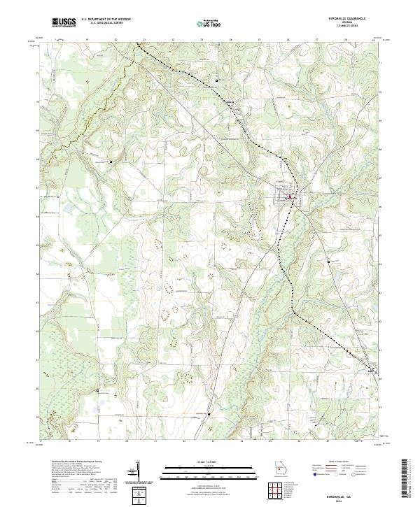
2024 Map of Byromville
USGS Topo · Published 2024About this map
Byromville and the neighboring settlements of Dooling and Lilly anchor this section of Georgia, where the agricultural landscape is defined by the winding paths of Turkey Creek and Hogcrawl Creek. The terrain is punctuated by numerous family and community landmarks, including Bethlehem Cem, Hepzibah Cem, and Mount Olive Cem, which provide essential points of reference for local genealogy and history. The proximity of the Macon Co and Dooly Co boundary line highlights the regional administrative layout of these rural communities.
Find a feature on this map
76 named features on this map. Tap any name to fly to it.
Don’t see what you’re looking for? This feature index may not catch every label — zoom into the map to look around manually.
Map Details
Editions of this 2024 Byromville Map
This is the sole edition of this map. No revisions or reprints were ever made.
Other maps of this area

1955 · Phenix City
USGS Topo · 1:250,000

1957 · Phenix City
USGS Topo · 1:250,000

1957 · Macon
USGS Topo · 1:250,000

1958 · Macon
USGS Topo · 1:250,000

1958 · Phenix City
USGS Topo · 1:250,000

1964 · Macon
USGS Topo · 1:250,000

1971 · Montezuma
USGS Topo · 1:24,000

1971 · Henderson
USGS Topo · 1:24,000

1971 · Pinehurst
USGS Topo · 1:24,000

1972 · Byromville
USGS Topo · 1:24,000