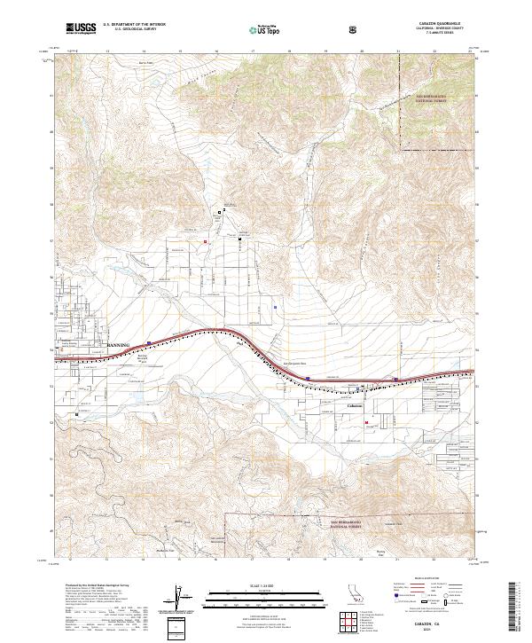
2021 Map of Cabazon
USGS Topo · Published 2021About this map
San Gorgonio Pass serves as a critical corridor between the San Bernardino National Forest and the San Jacinto Mountains, funneling transportation and water through a narrow geographic bottleneck. This 2021 survey documents the established infrastructure of Banning and the community of Cabazon, linked by the Union Pacific railroad and major modern thoroughfares. The map reveals deep local history through the presence of the Morongo Tribal Cem and Saint Mary's Catholic Cem, while the Banning Municipal Airport and Riverside County Banning Justice Center anchor the regional civic identity.
Find a feature on this map
105 named features on this map. Tap any name to fly to it.
Don’t see what you’re looking for? This feature index may not catch every label — zoom into the map to look around manually.
Map Details
Editions of this 2021 Cabazon Map
This is the sole edition of this map. No revisions or reprints were ever made.
Other maps of this area

1901 · Southern California Sheet No. 1
USGS Topo · 1:250,000

1901 · San Jacinto
USGS Topo · 1:125,000

1902 · San Gorgonio
USGS Topo · 1:125,000

1904 · Southern California Sheet No. 1
USGS Topo · 1:250,000

1940 · Palm Springs
USGS Topo · 1:62,500

1942 · Banning
USGS Topo · 1:62,500

1943 · Banning
USGS Topo · 1:62,500

1944 · Palm Springs
USGS Topo · 1:62,500

1947 · Santa Ana
USGS Topo · 1:250,000

1949 · Santa Ana
USGS Topo · 1:250,000