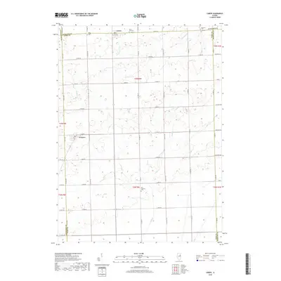
2018 Map of Cabery
USGS Topo · Published 2018About this map
Cabery and Kempton anchor this rural landscape where the borders of Ford, Kankakee, Livingston, and Iroquois counties converge. The terrain is defined by a grid of agricultural section lines and the meandering paths of several small waterways, including Kelly Cr, W Br Horse Cr, and Broughton Cr. This area maintains a strong sense of local history through its dispersed burial grounds, such as the Mona Township Cem and Saint Joseph Cem.
Find a feature on this map
53 named features on this map. Tap any name to fly to it.
Don’t see what you’re looking for? This feature index may not catch every label — zoom into the map to look around manually.
Map Details
Editions of this 2018 Cabery Map
This is the sole edition of this map. No revisions or reprints were ever made.
Other maps of this area

1923 · Herscher
USGS Topo · 1:62,500

1925 · Herscher
USGS Topo · 1:62,500

1944 · Piper City
USGS Topo · 1:48,000

1947 · Piper City
USGS Topo · 1:62,500

1947 · Cullom
USGS Topo · 1:62,500

1948 · Dwight
USGS Topo · 1:62,500

1949 · Cullom
USGS Topo · 1:62,500

1950 · Dwight
USGS Topo · 1:62,500

1958 · Aurora
USGS Topo · 1:250,000

1958 · Peoria
USGS Topo · 1:250,000