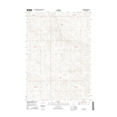
2015 Map of Cabin Fork
USGS Topo · Published 2015About this map
The arid drainage networks of Washakie County define this landscape, where the Cabin Fork and Hawks Nest Fork converge amidst a complex system of draws and gulches. The topographic detail highlights the water management and industrial footprints essential to this high plains environment, most notably the Lyman Reservoir Number 1 and the Macaroni Pit mining site.
Find a feature on this map
17 named features on this map. Tap any name to fly to it.
Don’t see what you’re looking for? This feature index may not catch every label — zoom into the map to look around manually.
Map Details
Editions of this 2015 Cabin Fork Map
This is the sole edition of this map. No revisions or reprints were ever made.
Other maps of this area

1955 · Sheridan
USGS Topo · 1:250,000

1955 · Arminto
USGS Topo · 1:250,000

1958 · Sheridan
USGS Topo · 1:250,000

1958 · Arminto
USGS Topo · 1:250,000

1962 · Sheridan
USGS Topo · 1:250,000

1962 · Arminto
USGS Topo · 1:250,000

1966 · Deadline Draw
USGS Topo · 1:24,000

1966 · Cabin Fork
USGS Topo · 1:24,000

1966 · Wagon Prong
USGS Topo · 1:24,000
1966 · Henry Draw
USGS Topo · 1:24,000