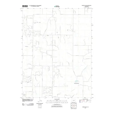
2010 Map of Cabin Gulch
USGS Topo · Published 2010About this map
Running Creek and its various tributaries carve a series of north-trending drainages across this Elbert County landscape, including Whiskey Gulch, Timber Claim Gulch, and the titular Cabin Gulch. This rural residential and ranching area features the Miller Cemetery centrally located along the upper reaches of the creek, providing a clear reference point for genealogists and local historians. The map documents modern water management efforts in the southern portion of the quadrangle, notably the Stroh Erosion Control Reservoir and the Donald E Stroh Erosion Control Dam Number 2. While the settlement of Cimarron sits at the southwestern edge, the surrounding terrain is defined by a growing network of roads such as Singing Hills Rd and County Rd-166, illustrating the shift from open range toward organized rural development.
Find a feature on this map
56 named features on this map. Tap any name to fly to it.
Don’t see what you’re looking for? This feature index may not catch every label — zoom into the map to look around manually.
Map Details
Editions of this 2010 Cabin Gulch Map
This is the sole edition of this map. No revisions or reprints were ever made.
Other maps of this area

1890 · East Denver
USGS Topo · 1:125,000

1894 · Castle Rock
USGS Topo · 1:125,000

1913 · Castle Rock
USGS Topo · 1:125,000

1939 · Elizabeth
USGS Topo · 1:62,500

1940 · Piney Creek
USGS Topo · 1:24,000

1942 · Piney Creek
USGS Topo · 1:31,680

1945 · Elizabeth
USGS Topo · 1:62,500

1953 · Denver
USGS Topo · 1:250,000

1955 · Watkins SE
USGS Topo · 1:24,000

1957 · Denver
USGS Topo · 1:250,000