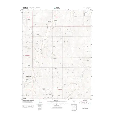
2013 Map of Cabin Gulch
USGS Topo · Published 2013About this map
Ponderosa Park and the edges of Cimarron anchor this portrait of Elbert County, characterized by a sprawling network of residential developments and rural roads. The landscape is defined by its drainage patterns, with Running Creek and Little Dry Creek cutting through the terrain alongside numerous named gulches. Local history is evident in sites like the Miller Cem, while the modern utility of the land is seen in the Safer Airport and the transitioning land use from traditional gulches like Whiskey Gulch and Cabin Gulch toward residential subdivisions.
Find a feature on this map
78 named features on this map. Tap any name to fly to it.
Don’t see what you’re looking for? This feature index may not catch every label — zoom into the map to look around manually.
Map Details
Editions of this 2013 Cabin Gulch Map
This is the sole edition of this map. No revisions or reprints were ever made.
Other maps of this area

1890 · East Denver
USGS Topo · 1:125,000

1894 · Castle Rock
USGS Topo · 1:125,000

1913 · Castle Rock
USGS Topo · 1:125,000

1939 · Elizabeth
USGS Topo · 1:62,500

1940 · Piney Creek
USGS Topo · 1:24,000

1942 · Piney Creek
USGS Topo · 1:31,680

1945 · Elizabeth
USGS Topo · 1:62,500

1953 · Denver
USGS Topo · 1:250,000

1955 · Watkins SE
USGS Topo · 1:24,000

1957 · Denver
USGS Topo · 1:250,000