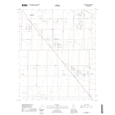
2018 Map of Cactus Forest
USGS Topo · Published 2018About this map
The desert landscape of Pinal County is defined by a network of seasonal water catchments and drainage systems that supported local ranching and settlement operations. This 2018 survey documents the small community of Cactus Forest and the southern reaches of Florence, situated in a region where ephemeral water sources like Paisano Wash and Brady Wash dictate the geography. Numerous water tanks, likely used for livestock in this arid environment, are scattered across the terrain, including Terimate Tank, Clemans Tank, and Youtsey Tank.
Find a feature on this map
71 named features on this map. Tap any name to fly to it.
Don’t see what you’re looking for? This feature index may not catch every label — zoom into the map to look around manually.
Map Details
Editions of this 2018 Cactus Forest Map
This is the sole edition of this map. No revisions or reprints were ever made.
Other maps of this area

1900 · Florence
USGS Topo · 1:125,000

1902 · Florence
USGS Topo · 1:125,000

1922 · Red Rock No 2
USGS Topo · 1:48,000

1934 · Newman Peak
USGS Topo · 1:125,000

1954 · Mesa
USGS Topo · 1:250,000

1956 · Tucson
USGS Topo · 1:250,000

1957 · Mesa
USGS Topo · 1:250,000

1958 · Mesa
USGS Topo · 1:250,000

1958 · Tucson
USGS Topo · 1:250,000

1959 · Tucson
USGS Topo · 1:250,000