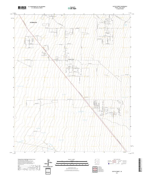
2021 Map of Cactus Forest
USGS Topo · Published 2021About this map
Cactus Forest and the southeastern edge of Florence anchor this desert landscape in Pinal County, where modern residential development meets the arid terrain of the Sonoran Desert. The map reveals a transition from the established street grid of Florence to the more sprawling rural residential layout of the Cactus Forest area. The terrain is defined by drainage patterns like Paisano Wash and Brady Wash, which cut through the landscape toward the Coy Hills in the northeast.
Find a feature on this map
75 named features on this map. Tap any name to fly to it.
Don’t see what you’re looking for? This feature index may not catch every label — zoom into the map to look around manually.
Map Details
Editions of this 2021 Cactus Forest Map
This is the sole edition of this map. No revisions or reprints were ever made.
Other maps of this area

1900 · Florence
USGS Topo · 1:125,000

1902 · Florence
USGS Topo · 1:125,000

1922 · Red Rock No 2
USGS Topo · 1:48,000

1934 · Newman Peak
USGS Topo · 1:125,000

1954 · Mesa
USGS Topo · 1:250,000

1956 · Tucson
USGS Topo · 1:250,000

1957 · Mesa
USGS Topo · 1:250,000

1958 · Mesa
USGS Topo · 1:250,000

1958 · Tucson
USGS Topo · 1:250,000

1959 · Tucson
USGS Topo · 1:250,000