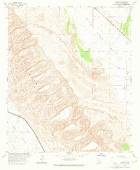
1963 Map of Cactus
USGS Topo · Published 1965About this map
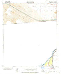
Sand Hills dominate the central topography of this Imperial County desert landscape, where shifting dunes meet the structured engineering of the mid-century Coachella Valley water system. Along the western edge, the Coachella Canal cuts a distinct line between the dunes and the flat expanse of East Mesa, marking a critical artery for regional irrigation. This intersection of natural desert barriers and human infrastructure highlights the era's reliance on large-scale water diversion to support the arid Southwest. To the northeast, the Southern Pacific railroad tracks parallel the foothills of Pilot Knob Mesa, serving the small settlement at Cactus. The map captures the delicate balance between the vast, undulating sands and the rigid corridors of transport and transit that define the Imperial Valley's development. Local drainage is represented by the ephemeral path of Tumco Wash, which drains the eastern mesas toward the lower desert floor.
Find a feature on this map
9 named features on this map. Tap any name to fly to it.
Don’t see what you’re looking for? This feature index may not catch every label — zoom into the map to look around manually.
Map Details
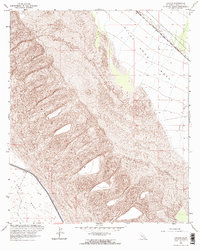
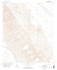
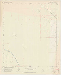
Editions of this 1963 Cactus Map
4 editions found
Other maps of this area

1903 · Yuma
USGS Topo · 1:125,000

1905 · Yuma
USGS Topo · 1:125,000

1907 · Holtville
USGS Topo · 1:125,000

1942 · El Centro
USGS Topo · 1:250,000

1942 · Yuma
USGS Topo · 1:250,000

1953 · Grays Well
USGS Topo · 1:24,000

1953 · Ogilby
USGS Topo · 1:62,500

1953 · Cactus
USGS Topo · 1:24,000
1953 · Grays Well NE
USGS Topo · 1:24,000

1954 · El Centro
USGS Topo · 1:250,000