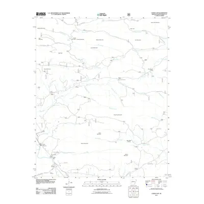
2011 Map of Caddo Gap
USGS Topo · Published 2011About this map
Caddo Gap sits at a critical junction of river and ridge, where Gap Creek meets the broader valley landscape. This 2011 survey reveals a territory deeply marked by family history and small-scale settlement, evidenced by a high density of burial grounds such as the Family Cemetery, Jones Valley Cemetery, and the Black Cemetery. The settlement of Plata serves as a local landmark near Mount Zion Cemetery, while Ophir stands to the west along the banks of Collier Creek.
Find a feature on this map
61 named features on this map. Tap any name to fly to it.
Don’t see what you’re looking for? This feature index may not catch every label — zoom into the map to look around manually.
Map Details
Editions of this 2011 Caddo Gap Map
This is the sole edition of this map. No revisions or reprints were ever made.
Other maps of this area

1890 · Mount Ida
USGS Topo · 1:125,000

1890 · Hot Springs
USGS Topo · 1:125,000

1894 · Hot Springs
USGS Topo · 1:125,000

1906 · Caddo Gap
USGS Topo · 1:125,000

1936 · Glenwood
USGS Topo · 1:48,000

1942 · Glenwood
USGS Topo · 1:62,500

1949 · Glenwood
USGS Topo · 1:62,500

1955 · Little Rock
USGS Topo · 1:250,000

1956 · Little Rock
USGS Topo · 1:250,000

1959 · Mount Ida
USGS Topo · 1:62,500