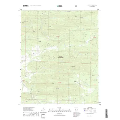
2020 Map of Caddo Gap
USGS Topo · Published 2020About this map
The Caddo River winds through the southwestern corner of this area, marking the namesake Caddo Gap where the river cuts between the Caddo Mountains and the surrounding peaks of the Ouachita National Forest. This 2020 survey reveals a landscape of high ridges and deep hollows, including the Crystal Mountains and Mazarn Mountain to the north. While much of the land is forested, numerous family and community burial grounds are tucked into the valleys, such as Bassinger Cemetery, Valley Cemetery, and Mountain Home Cemetery.
Find a feature on this map
80 named features on this map. Tap any name to fly to it.
Don’t see what you’re looking for? This feature index may not catch every label — zoom into the map to look around manually.
Map Details
Editions of this 2020 Caddo Gap Map
This is the sole edition of this map. No revisions or reprints were ever made.
Other maps of this area

1890 · Mount Ida
USGS Topo · 1:125,000

1890 · Hot Springs
USGS Topo · 1:125,000

1894 · Hot Springs
USGS Topo · 1:125,000

1906 · Caddo Gap
USGS Topo · 1:125,000

1936 · Glenwood
USGS Topo · 1:48,000

1942 · Glenwood
USGS Topo · 1:62,500

1949 · Glenwood
USGS Topo · 1:62,500

1955 · Little Rock
USGS Topo · 1:250,000

1956 · Little Rock
USGS Topo · 1:250,000

1959 · Mount Ida
USGS Topo · 1:62,500