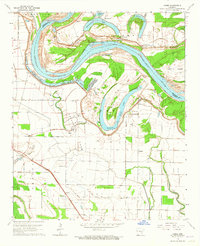
1964 Map of Cades
USGS Topo · Published 1965About this map
Cummins State Prison Farm dominates the central landscape of this mid-1960s survey, where the meanders of the Arkansas River define the boundary between Lincoln and Jefferson Counties. The river's historical course has left behind significant oxbow features like Sloan Lake and Old River, creating a complex network of wetlands including Brushy Lake and Hannaberry Lake. This area reflects a deep-rooted agricultural and institutional layout, with the prison's vast acreage and boundary lines clearly delineated against the surrounding private land.
Find a feature on this map
35 named features on this map. Tap any name to fly to it.
Don’t see what you’re looking for? This feature index may not catch every label — zoom into the map to look around manually.
Map Details
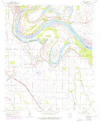
Editions of this 1964 Cades Map
2 editions found
Other maps of this area

1935 · Varner
USGS Topo · 1:62,500

1935 · Rotan
USGS Topo · 1:62,500

1935 · Red Fork
USGS Topo · 1:62,500

1935 · Gillett
USGS Topo · 1:62,500

1948 · Helena
USGS Topo · 1:250,000

1950 · Helena
USGS Topo · 1:250,000

1953 · Greenwood
USGS Topo · 1:250,000

1955 · Helena
USGS Topo · 1:250,000

1956 · Greenwood
USGS Topo · 1:250,000

1959 · Helena
USGS Topo · 1:250,000