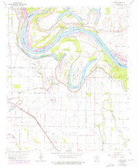
1964 Map of Cades
USGS Topo · Published 1976About this map
The Arkansas River dictates the landscape of this region, winding through a series of dramatic oxbows and abandoned channels. The expansive State Prison Farm and the Cummins State Prison facility dominate the central terrain, complete with its own Hospital and Water Tank. To the north, the settlement of Villemont sits near the river's edge, while the southern reaches are marked by the small communities of Cades and Varner, both situated along the Missouri Pacific railroad line.
Find a feature on this map
43 named features on this map. Tap any name to fly to it.
Don’t see what you’re looking for? This feature index may not catch every label — zoom into the map to look around manually.
Map Details
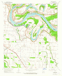
Editions of this 1964 Cades Map
2 editions found
Other maps of this area

1935 · Varner
USGS Topo · 1:62,500

1935 · Rotan
USGS Topo · 1:62,500

1935 · Red Fork
USGS Topo · 1:62,500

1935 · Gillett
USGS Topo · 1:62,500

1948 · Helena
USGS Topo · 1:250,000

1950 · Helena
USGS Topo · 1:250,000

1953 · Greenwood
USGS Topo · 1:250,000

1955 · Helena
USGS Topo · 1:250,000

1956 · Greenwood
USGS Topo · 1:250,000

1959 · Helena
USGS Topo · 1:250,000