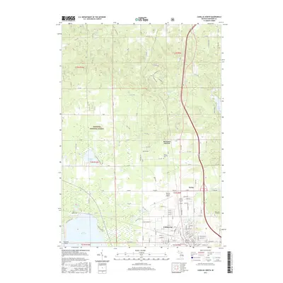
2017 Map of Cadillac North
USGS Topo · Published 2017About this map
The northern reaches of Cadillac anchor this survey, showing a landscape defined by the transition from urban street grids to the protected timberlands of the Manistee National Forest. This region of Wexford County is a hub of water and transportation, where the Clam River flows near the developed corridor of Haring and the campus of Baker Coll of Cadillac. To the west, the expansive Lake Mitchell is marked by Turnbolt Point, while smaller water bodies like Stoddard Lake and the interestingly named Gyttja Lake are scattered through the glacial topography.
Find a feature on this map
85 named features on this map. Tap any name to fly to it.
Don’t see what you’re looking for? This feature index may not catch every label — zoom into the map to look around manually.
Map Details
Editions of this 2017 Cadillac North Map
This is the sole edition of this map. No revisions or reprints were ever made.
Other maps of this area

1954 · Traverse City
USGS Topo · 1:250,000

1956 · Mesick
USGS Topo · 1:62,500

1956 · Cadillac North
USGS Topo · 1:62,500

1957 · Cadillac South
USGS Topo · 1:62,500

1957 · Luther
USGS Topo · 1:62,500

1958 · Traverse City
USGS Topo · 1:250,000

1983 · Cadillac
USGS Topo · 1:100,000

1983 · Manton
USGS Topo · 1:25,000

1983 · Cadillac North
USGS Topo · 1:24,000
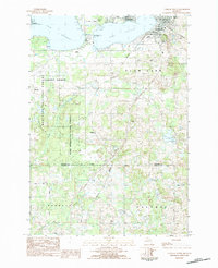
1983 · Cadillac South
USGS Topo · 1:25,000
Featured Places
- Cadillac, MI
- Haring Charter Township, Haring Township
- Haring Township, MI
- Selma Township, MI
- Colfax Township, MI