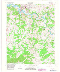
1967 Map of Cadiz
USGS Topo · Published 1983About this map
Cadiz serves as the focal point of this Trigg County landscape, where the Cadiz RR terminates near the banks of the Little River. The topography is defined by the expansive Lake Barkley in the northwest, a massive hydrographic feature that reshaped the local drainage of Caney Creek and its tributaries. This 1960s-era documentation, with updates into the early 1980s, captures the town's infrastructure, including a Filtration Plant and Sewage Disposal facility near the river bend.
Find a feature on this map
28 named features on this map. Tap any name to fly to it.
Don’t see what you’re looking for? This feature index may not catch every label — zoom into the map to look around manually.
Map Details
Editions of this 1967 Cadiz Map
2 editions found
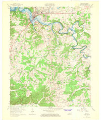
Other maps of this area

1950 · Caledonia
USGS Topo · 1:24,000

1951 · Caledonia
USGS Topo · 1:24,000

1951 · Model
USGS Topo · 1:24,000

1951 · Roaring Spring
USGS Topo · 1:24,000

1951 · Johnson Hollow
USGS Topo · 1:24,000

1953 · Canton
USGS Topo · 1:24,000

1953 · Gracey
USGS Topo · 1:24,000

1953 · Cobb
USGS Topo · 1:24,000
1953 · Lamasco
USGS Topo · 1:24,000
1953 · Cadiz
USGS Topo · 1:24,000