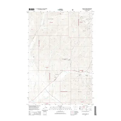
2014 Map of Cadotte Creek
USGS Topo · Published 2014About this map
Cadotte Pass marks the high point of this terrain within the Lewis and Clark Range, situated in the heart of the Helena National Forest. The landscape is defined by the headwaters of the Blackfoot River, which is fed by numerous drainages including Alice Cr, Cadotte Creek, and Bartlett Cr. A series of named gulches, such as First Gulch, Second Gulch, and Third Gulch, descend toward the river valley, reflecting the area's geological and prospecting history.
Find a feature on this map
48 named features on this map. Tap any name to fly to it.
Don’t see what you’re looking for? This feature index may not catch every label — zoom into the map to look around manually.
Map Details
Editions of this 2014 Cadotte Creek Map
This is the sole edition of this map. No revisions or reprints were ever made.
Other maps of this area

1889 · Helena
USGS Topo · 1:250,000

1893 · Helena
USGS Topo · 1:250,000

1899 · Helena
USGS Topo · 1:250,000

1903 · Coopers Lake
USGS Topo · 1:125,000

1903 · Helena
USGS Topo · 1:250,000

1943 · Hogan
USGS Topo · 1:125,000

1947 · Butte
USGS Topo · 1:250,000

1955 · Choteau
USGS Topo · 1:250,000

1957 · Choteau
USGS Topo · 1:250,000

1958 · Butte
USGS Topo · 1:250,000