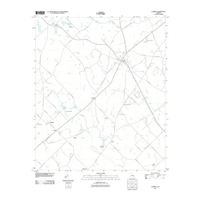
2011 Map of Cadwell
USGS Topo · Published 2011About this map
Cadwell serves as the primary hub of this rural Georgia landscape, where a network of family-named roads and agrarian settlements define the terrain. The map documents numerous localized centers such as Batson, Plainfield, and the smaller crossing at Horne. Water management is central to the area’s geography, with several named dams and impoundments including Jones Pond Dam, Whittle Lake Dam, and Bryan Lake Dam regulating the flow of Alligator Creek and Batson Creek.
Find a feature on this map
84 named features on this map. Tap any name to fly to it.
Don’t see what you’re looking for? This feature index may not catch every label — zoom into the map to look around manually.
Map Details
Editions of this 2011 Cadwell Map
This is the sole edition of this map. No revisions or reprints were ever made.
Other maps of this area

1957 · Macon
USGS Topo · 1:250,000

1958 · Macon
USGS Topo · 1:250,000

1964 · Macon
USGS Topo · 1:250,000

1972 · Eastman
USGS Topo · 1:24,000

1972 · Mc Rae NW
USGS Topo · 1:24,000

1972 · Jay Bird Springs
USGS Topo · 1:24,000

1973 · Cadwell
USGS Topo · 1:24,000

1974 · Chester
USGS Topo · 1:24,000

1974 · Five Points
USGS Topo · 1:24,000

1974 · Rentz
USGS Topo · 1:24,000