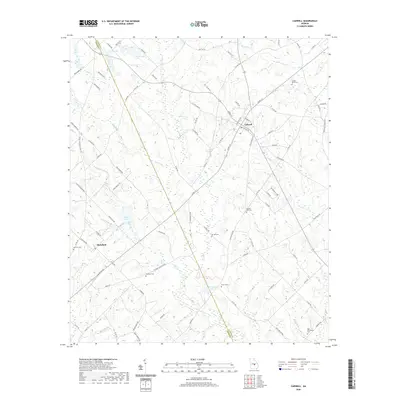
2020 Map of Cadwell
USGS Topo · Published 2020About this map
Cadwell and Plainfield serve as the primary hubs in this portion of South Georgia, where the boundary between Laurens Co and Dodge Co divides the landscape. The region is defined by an intricate network of watercourses, including Alligator Cr, Bluewater Cr, and Sheffield Br, which drain the low-lying agricultural terrain. This survey provides a look at the rural distribution of family and community landmarks, particularly a high concentration of cemeteries such as Joseph Mullis Cem, Sun Hill Cem, and the uniquely named Bee Hive Cem. To the north, Whittle Lake and Bryan Lake offer prominent local water features, while the southern reaches are marked by McCollogh Pond and Jones Pond. The density of localized place names and small burial grounds reflects a deeply rooted settlement pattern typical of Georgia's wiregrass and pine woods region.
Find a feature on this map
94 named features on this map. Tap any name to fly to it.
Don’t see what you’re looking for? This feature index may not catch every label — zoom into the map to look around manually.
Map Details
Editions of this 2020 Cadwell Map
This is the sole edition of this map. No revisions or reprints were ever made.
Other maps of this area

1957 · Macon
USGS Topo · 1:250,000

1958 · Macon
USGS Topo · 1:250,000

1964 · Macon
USGS Topo · 1:250,000

1972 · Eastman
USGS Topo · 1:24,000

1972 · Mc Rae NW
USGS Topo · 1:24,000

1972 · Jay Bird Springs
USGS Topo · 1:24,000

1973 · Cadwell
USGS Topo · 1:24,000

1974 · Chester
USGS Topo · 1:24,000

1974 · Five Points
USGS Topo · 1:24,000

1974 · Rentz
USGS Topo · 1:24,000