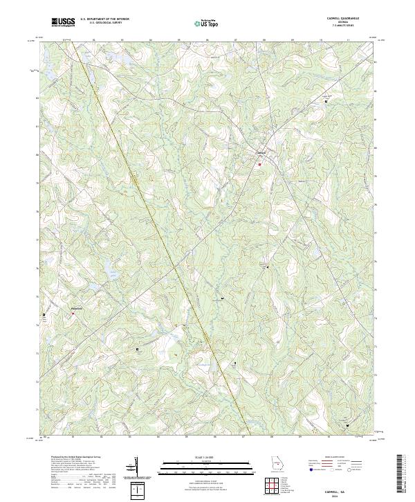
2024 Map of Cadwell
USGS Topo · Published 2024About this map
The agricultural lands of Laurens Co and Dodge Co converge in this southern Georgia survey, anchored by the towns of Cadwell and Plainfield. The landscape is a network of rural roads and family heritage sites, evidenced by the numerous cemeteries scattered across the terrain, including Joseph Mullis Cem in the northeast and Noles Cem further south. The hydrology of the region is defined by the winding paths of Bay Creek, Alligator Creek, and Big Branch, alongside several small impoundments like Whittle Lake and McCollogh Pond. This 2024 data reflects a modern rural infrastructure where old local routes like Co Rd 117 connect small communities to the surrounding timberlands and farms. Genealogists will find particular value in the precisely located burial grounds such as Sun Hill Cem and Bee Hive Cem, which serve as vital landmarks for local family histories.
Find a feature on this map
96 named features on this map. Tap any name to fly to it.
Don’t see what you’re looking for? This feature index may not catch every label — zoom into the map to look around manually.
Map Details
Editions of this 2024 Cadwell Map
This is the sole edition of this map. No revisions or reprints were ever made.
Other maps of this area

1957 · Macon
USGS Topo · 1:250,000

1958 · Macon
USGS Topo · 1:250,000

1964 · Macon
USGS Topo · 1:250,000

1972 · Eastman
USGS Topo · 1:24,000

1972 · Mc Rae NW
USGS Topo · 1:24,000

1972 · Jay Bird Springs
USGS Topo · 1:24,000

1973 · Cadwell
USGS Topo · 1:24,000

1974 · Chester
USGS Topo · 1:24,000

1974 · Five Points
USGS Topo · 1:24,000

1974 · Rentz
USGS Topo · 1:24,000