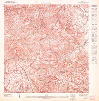
1947 Map of Caguas NO
USGS Topo · Published 1947About this map
The municipal boundary between Municipio De Aguas Buenas and Municipio De Caguas bisects this 1940s topographic study, revealing a landscape defined by sharp elevation changes and deep valleys. Centered on the rugged interior of Puerto Rico, the map shows the upper reaches of the Rio Caguitas and the winding road toward Canaboncito.
Find a feature on this map
10 named features on this map. Tap any name to fly to it.
Don’t see what you’re looking for? This feature index may not catch every label — zoom into the map to look around manually.
Map Details
Editions of this 1947 Caguas NO Map
This is the sole edition of this map. No revisions or reprints were ever made.
Other maps of this area

1946 · Aguas Buenas
USGS Topo · 1:30,000

1946 · Comerio
USGS Topo · 1:30,000

1946 · Naranjito
USGS Topo · 1:30,000

1946 · Caguas
USGS Topo · 1:30,000
1947 · Caguas NE
USGS Topo · 1:10,000
1947 · Naranjito SE
USGS Topo · 1:10,000
1947 · Comerio SE
USGS Topo · 1:10,000
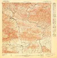
1947 · Aguas Buenas SE
USGS Topo · 1:10,000
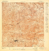
1947 · Aguas Buenas SO
USGS Topo · 1:10,000
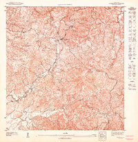
1947 · Caguas SO
USGS Topo · 1:10,000
Featured Places
- Sector Doña Munda, Caguas
- Sector Almena, Aguas Buenas
- Sector Benito Guzmán, Caguas
- Sector Los Quintana, Caguas
- Sector Capilla Sagrada Familia, Caguas