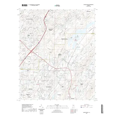
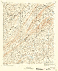
2020 Map of Cahaba Heights
USGS Topo · Published 2020About this map
The Cahaba River and its tributary, the Little Cahaba River, carve a complex path through the ridges southeast of Birmingham. This landscape is defined by the sharp topography of Shades Mtn and Oak Mtn, creating natural corridors like The Narrows and Looney Gap that have long dictated the expansion of suburban communities. Modern developments such as Vestavia Hills, Mountain Brook, and Inverness are shown in detail, interwoven with older landmarks like the Old Iron Bridge and the expanse of Lake Purdy.
Find a feature on this map
222 named features on this map. Tap any name to fly to it.
Don’t see what you’re looking for? This feature index may not catch every label — zoom into the map to look around manually.
Map Details
Editions of this 2020 Cahaba Heights Map
This is the sole edition of this map. No revisions or reprints were ever made.
Other maps of this area

1889 · Birmingham
USGS Topo · 1:125,000

1890 · Bessemer
USGS Topo · 1:125,000

1892 · Birmingham
USGS Topo · 1:125,000

1892 · Bessemer
USGS Topo · 1:125,000

1895 · Birmingham
USGS Topo · 1:125,000
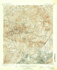
1904 · Birmingham Coal District
USGS Topo · 1:62,500
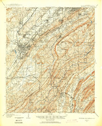
1905 · Bessemer Iron District
USGS Topo · 1:62,500

1905 · Leeds
USGS Topo · 1:62,500
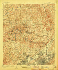
1906 · Birmingham Special
USGS Topo · 1:62,500
1906 · Vandiver
USGS Topo · 1:62,500