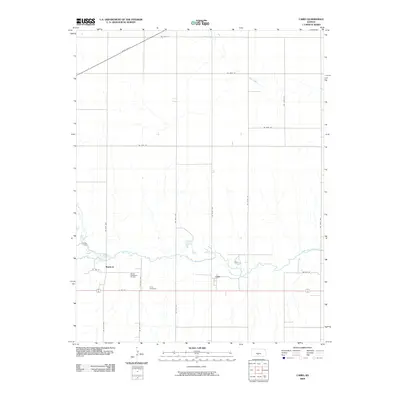
2009 Map of Cairo
USGS Topo · Published 2009About this map
Cairo and Waldeck anchor this Pratt County landscape, reflecting the agricultural and industrial character of south-central Kansas. The terrain is defined by the winding course of the South Fork Ninnescah River, which cuts an irregular path through the gridded section lines. To the north, Silver Creek drains the prairie, while State Hwy 61 provides a primary diagonal artery through the region.
Find a feature on this map
23 named features on this map. Tap any name to fly to it.
Don’t see what you’re looking for? This feature index may not catch every label — zoom into the map to look around manually.
Map Details
Editions of this 2009 Cairo Map
This is the sole edition of this map. No revisions or reprints were ever made.
Other maps of this area
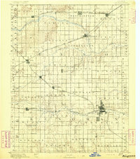
1892 · Kingman
USGS Topo · 1:125,000
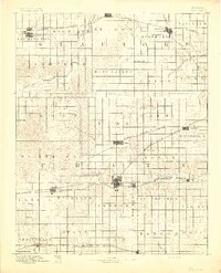
1892 · Pratt
USGS Topo · 1:125,000
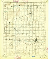
1894 · Kingman
USGS Topo · 1:125,000
1894 · Pratt
USGS Topo · 1:125,000
1955 · Pratt
USGS Topo · 1:250,000
1959 · Pratt
USGS Topo · 1:250,000
1966 · Cunningham
USGS Topo · 1:24,000
1966 · St Leo
USGS Topo · 1:24,000
1967 · Cairo
USGS Topo · 1:24,000
1968 · Pratt SW
USGS Topo · 1:24,000