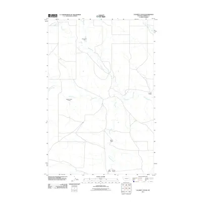
2011 Map of Calamity Coulee
USGS Topo · Published 2011About this map
Calamity Coulee and its neighboring drainage systems define this section of Garfield County, Montana, showing a landscape shaped by intermittent water and pastoral management. The map documents the presence of the William Pluhar Dam, a notable instance of human modification of the natural watercourses in this arid region. The drainage network is dense, with Skunk Arroyo and Hawks Nest Creek feeding into the larger systems of Little Dry Creek and Thompson Creek. The nomenclature of the area reflects local heritage and ranching history, evidenced by the specific naming of several coulees such as Nighten Helser Coulee, Ogilvie Coulee, and Flannery Coulee, alongside Todd Coulee. These features provide a clear picture of the land's hydrology and the legacy of the people who worked these eastern Montana plains in the early 21st century.
Find a feature on this map
10 named features on this map. Tap any name to fly to it.
Don’t see what you’re looking for? This feature index may not catch every label — zoom into the map to look around manually.
Map Details
Editions of this 2011 Calamity Coulee Map
This is the sole edition of this map. No revisions or reprints were ever made.
Other maps of this area

1954 · Jordan
USGS Topo · 1:250,000

1954 · Forsyth
USGS Topo · 1:250,000

1956 · Jordan
USGS Topo · 1:250,000

1957 · Forsyth
USGS Topo · 1:250,000

1958 · Jordan
USGS Topo · 1:250,000

1958 · Forsyth
USGS Topo · 1:250,000

1964 · Jordan
USGS Topo · 1:250,000

1965 · Cohagen
USGS Topo · 1:24,000

1965 · Whiteside Ranch
USGS Topo · 1:24,000

1965 · Calamity Coulee
USGS Topo · 1:24,000