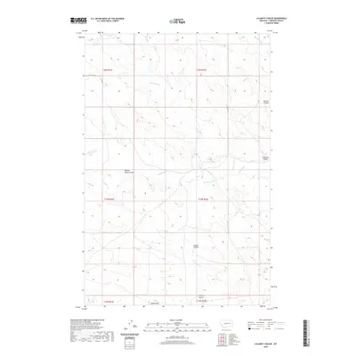
2020 Map of Calamity Coulee
USGS Topo · Published 2020About this map
Calamity Coulee and a network of intricate drainages define this portion of the Garfield County landscape in 2020. The terrain is deeply incised by watercourses like Skunk Arroyo and Hawks Nest Cr, which move through the high plains. Human presence is sparse, marked primarily by the path of E Little Dry Rd and the section lines of the Public Land Survey System, such as t15n r42e. The nomenclature of the area reflects local history and geography through named features like Nighten Helser Coulee and Ogilvie Coulee. This survey illustrates the persistent ranching character of Eastern Montana, where seasonal creeks like Little Dry Cr and Thompson Cr dictate the movement of roads and boundary lines across the open range.
Find a feature on this map
17 named features on this map. Tap any name to fly to it.
Don’t see what you’re looking for? This feature index may not catch every label — zoom into the map to look around manually.
Map Details
Editions of this 2020 Calamity Coulee Map
This is the sole edition of this map. No revisions or reprints were ever made.
Other maps of this area

1954 · Jordan
USGS Topo · 1:250,000

1954 · Forsyth
USGS Topo · 1:250,000

1956 · Jordan
USGS Topo · 1:250,000

1957 · Forsyth
USGS Topo · 1:250,000

1958 · Jordan
USGS Topo · 1:250,000

1958 · Forsyth
USGS Topo · 1:250,000

1964 · Jordan
USGS Topo · 1:250,000

1965 · Cohagen
USGS Topo · 1:24,000

1965 · Whiteside Ranch
USGS Topo · 1:24,000

1965 · Calamity Coulee
USGS Topo · 1:24,000