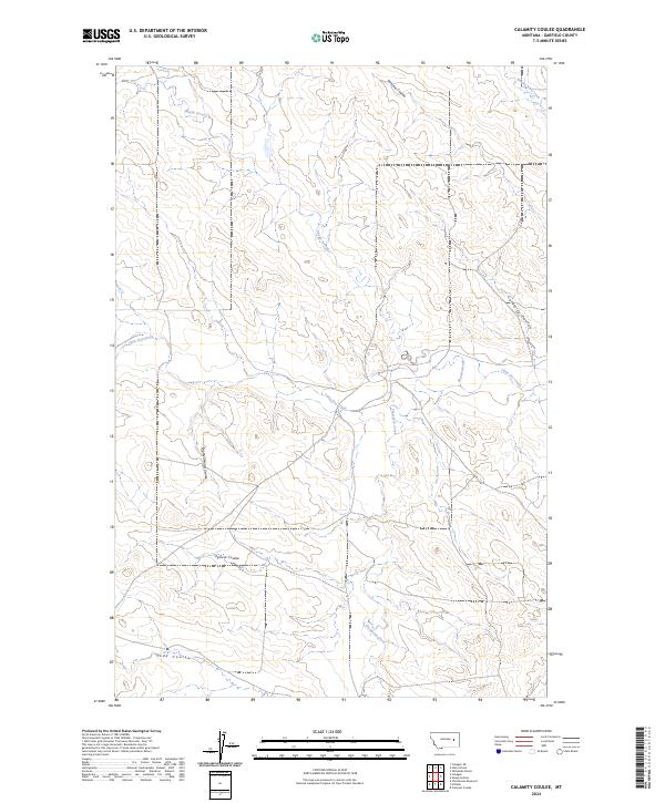
2024 Map of Calamity Coulee
USGS Topo · Published 2024About this map
Calamity Coulee and its neighboring drainages define this stretch of Garfield County, Montana, where the terrain is marked by a complex network of dry washes and intermittent streams. The landscape is characterized by its distinct coulee systems, such as Ogilvie Coulee and Todd Coulee, which cut through the high plains. These features reveal the intricate natural drainage patterns that have shaped the local geography over time.
Find a feature on this map
15 named features on this map. Tap any name to fly to it.
Don’t see what you’re looking for? This feature index may not catch every label — zoom into the map to look around manually.
Map Details
Editions of this 2024 Calamity Coulee Map
This is the sole edition of this map. No revisions or reprints were ever made.
Other maps of this area

1954 · Jordan
USGS Topo · 1:250,000

1954 · Forsyth
USGS Topo · 1:250,000

1956 · Jordan
USGS Topo · 1:250,000

1957 · Forsyth
USGS Topo · 1:250,000

1958 · Jordan
USGS Topo · 1:250,000

1958 · Forsyth
USGS Topo · 1:250,000

1964 · Jordan
USGS Topo · 1:250,000

1965 · Cohagen
USGS Topo · 1:24,000

1965 · Whiteside Ranch
USGS Topo · 1:24,000

1965 · Calamity Coulee
USGS Topo · 1:24,000