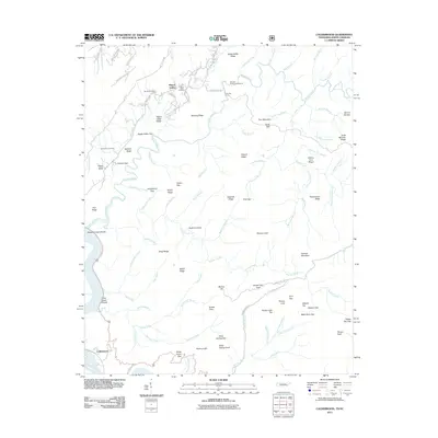
2011 Map of Calderwood
USGS Topo · Published 2011About this map
Happy Valley serves as a central point of settlement in this part of the Tennessee-North Carolina borderlands, characterized by a concentration of local heritage sites including Happy Valley Cemetery, Boone Cemetery, and Chilhowee Cemetery. The landscape is dominated by the winding course of Abrams Creek, which features notable landmarks such as Abrams Falls and Gourley Ford. The settlement of Calderwood sits at the southwestern edge near the Little Tennessee River, connected to the interior by routes like the Foothills Pkwy and Happy Valley Rd. Higher elevations are defined by named peaks and ridges, including Mount Lanier, Hannah Mountain, and the prominent Parson High Top. This survey documents a transition from established river settlements to the high ridges of the Great Smoky Mountains region, where early roads and gaps like Shaw Grave Gap and Tarkiln Gap provided essential passage through the complex terrain.
Find a feature on this map
100 named features on this map. Tap any name to fly to it.
Don’t see what you’re looking for? This feature index may not catch every label — zoom into the map to look around manually.
Map Details
Editions of this 2011 Calderwood Map
This is the sole edition of this map. No revisions or reprints were ever made.
Other maps of this area

1886 · Knoxville
USGS Topo · 1:125,000

1892 · Knoxville
USGS Topo · 1:125,000

1893 · Murphy
USGS Topo · 1:125,000

1894 · Knoxville
USGS Topo · 1:125,000

1895 · Loudon
USGS Topo · 1:125,000

1895 · Knoxville
USGS Topo · 1:125,000

1901 · Knoxville
USGS Topo · 1:125,000

1914 · Murphy
USGS Topo · 1:125,000

1933 · Haw Knob
USGS Topo · 1:48,000

1933 · Whiteoak Flats
USGS Topo · 1:24,000