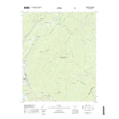
2019 Map of Calderwood
USGS Topo · Published 2019About this map
Great Smoky Mountains National Park and the Cherokee National Forest converge in this high-elevation corridor along the Tennessee and North Carolina border. The landscape is defined by the sharp relief of Chilhowee Mtn and Hatcher Mtn, separated by the winding course of Abrams Creek as it flows toward Chilhowee Lake. Settlement is concentrated in Happy Valley and the company-built community of Calderwood, once essential for regional hydroelectric operations. A dense network of family-named cemeteries, including Whitehead Cem, Boring Cem, and Parsons Ghormley Cem, provides significant genealogical touchpoints for local families. The terrain is crisscrossed by established routes such as the Hannah Mountain Trail and Rabbit Creek Trail, following the ridges of Polecat Ridge and Peckerwood Ridge.
Find a feature on this map
111 named features on this map. Tap any name to fly to it.
Don’t see what you’re looking for? This feature index may not catch every label — zoom into the map to look around manually.
Map Details
Editions of this 2019 Calderwood Map
This is the sole edition of this map. No revisions or reprints were ever made.
Other maps of this area

1886 · Knoxville
USGS Topo · 1:125,000

1892 · Knoxville
USGS Topo · 1:125,000

1893 · Murphy
USGS Topo · 1:125,000

1894 · Knoxville
USGS Topo · 1:125,000

1895 · Loudon
USGS Topo · 1:125,000

1895 · Knoxville
USGS Topo · 1:125,000

1901 · Knoxville
USGS Topo · 1:125,000

1914 · Murphy
USGS Topo · 1:125,000

1933 · Haw Knob
USGS Topo · 1:48,000

1933 · Whiteoak Flats
USGS Topo · 1:24,000