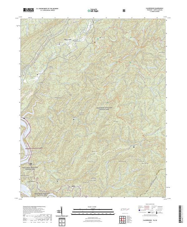
2022 Map of Calderwood
USGS Topo · Published 2022About this map
Calderwood and Happy Valley anchor this mountainous landscape where the Great Smoky Mountains National Park meets the Cherokee National Forest. The map documents a rugged terrain defined by sharp ridges like Tarkiln Ridge and Deadrick Ridge, drained by the Little Tennessee River and Abrams Creek. Local history is preserved through numerous family-named landmarks and burial grounds, including the Ghormley Cem, Burchfield Cem, and the Maynard Hughes Cem near Maynard Cr. The road network is dominated by the Foothills Parkway Section 8H, which traverses the slopes of Chilhowee Mtn. Small settlements and religious sites like the Happy Valley Missionary Baptist Church indicate a long-standing community footprint even within the protected forest boundaries and steep hollows of the Appalachian foothills.
Find a feature on this map
105 named features on this map. Tap any name to fly to it.
Don’t see what you’re looking for? This feature index may not catch every label — zoom into the map to look around manually.
Map Details
Editions of this 2022 Calderwood Map
This is the sole edition of this map. No revisions or reprints were ever made.
Other maps of this area

1886 · Knoxville
USGS Topo · 1:125,000

1892 · Knoxville
USGS Topo · 1:125,000

1893 · Murphy
USGS Topo · 1:125,000

1894 · Knoxville
USGS Topo · 1:125,000

1895 · Loudon
USGS Topo · 1:125,000

1895 · Knoxville
USGS Topo · 1:125,000

1901 · Knoxville
USGS Topo · 1:125,000

1914 · Murphy
USGS Topo · 1:125,000

1933 · Haw Knob
USGS Topo · 1:48,000

1933 · Whiteoak Flats
USGS Topo · 1:24,000